Western Ephel Dúath

The southern Ephel Dúath
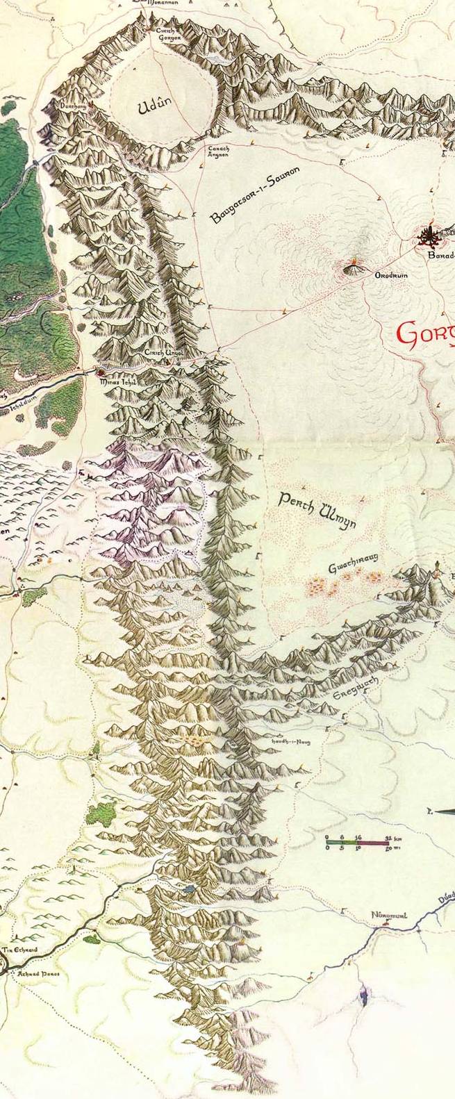
Ephel Dûath (S. ‘Mountains of Shadow’): These mountains fenced Mordor on the west and south, they ran from north to south for 784 miles and then swung eastward, although they were generally lower than the Misty or White Mountains, some peaks rose to 8,000 feet, the eastern faces were far more sheer and precipitous than the western.
- Length: 1,075 miles, from Udûn in the northwest to Lhûgdhol (S. "Snake-head") in the southeast.
- Elevation: average peak elevation: 5,000-7,000 feet; lowest peak: Adzamon (Orc. " Knife-hill") 3,850 feet; highest peak: Mormaegon (S. "Black Piercing-stone") 8,804 feet.
- Climate: average annual precipitation: 15-35 inches; mean annual temperature: 47-57°F; average low: Narwain 25°F; average high: Cerveth 90°F
- Composition: The Ephel Dúath consisted of predominantly igneous rocks, formed by volcanism. Little mineral wealth existed in these dry and barren peaks. Any precipitation on their slopes washed into the verdant lands of Ithilien or vanished underneath the grey shield of Gorgoroth.
The Ephel Dúath consisted predominantly of igneous rocks, formed by the volcanism of Mordor. Little mineral wealth existed in these dry and barren peaks, though significant deposits of placer gold were discovered along one of the streams issuing from the Ephel Dúath. Despite their relative poverty, however, the volcanic origin of this range had played a critical role in the arability of the soil of the Vale of Harnen, which might otherwise have become part of the Great Desert to the south, instead of the important cultural and economic corridor that it did. It was the same richness of soil contributed to the agricultural potential of Harithilien and the eastern Vale of Anduin.
Northern Ephel Dúath
The Ephel Dúath formed a right angle with the Ered Nimrais, running from north to south, from Fornithilien to Harondor, before turning eastwards towards Near Harad and Khand. The range formed the eastern boundary of southern Gondor, dividing it from the desolation of Mordor and Núrn beyond. In contrast to the benign White Mountains, the Ephel Dúath offered little or no solace to the traveler. No major pass offered a way through their towering peaks that marched upon the borders of southern Gondor, and their unrelentingly steep slopes provided little room for settlement. With the exception of the vales of Harnen and Poros. the Ephel Dúath contained few reliable sources of water, making the adjoining plateau of Harondor an arid region indeed. However, northward winds from the Bay of Belfalas caused precipitation on the western face of the range, watering the fields of Harithilien on a regular basis.
The sparse flora of the Ephel Dúath consisted mainly of hardy grasses and thorny bushes, which provided sustenance for the goats that inhabited the mountain slopes. These herbivores were hunted by wolves and the occasional lion. Some Orc tribes inhabited the Ephel Dúath; but their numbers were small and, prior to the Nazgûl's capture of Minas Ithil in T.A. 2002, they were not bold enough to launch any raids against the folk of Harithilien. The tribes adjacent to Harondor, on the other hand, did sometimes raid the Eastmarch, But these had a healthy respect for the Haruze nomads of that region, whose hunters had displayed an unusual skill in tracking and ambushing their raiding parties.
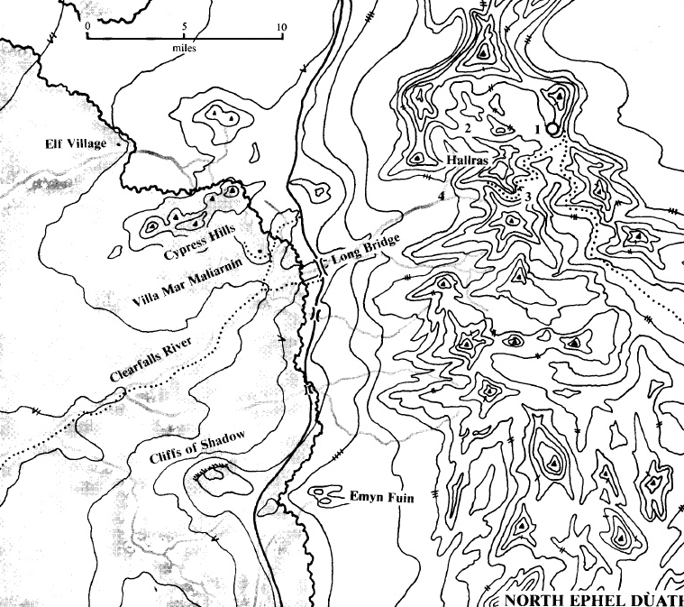
Notes: A survey of Mordor written soon after the Fall of Sauron listed some iron ore deposits in the desolate land of Núrn, but few possessed the initiative or the resources necessary to confirm the veracity of these reports. Cirith Ungol was the only decent pass to cut the Ephel Dúath south of the Morannon, and it was more suited to foot traffic than to carts and wagons.
References[]
- MERP Fan Modules: MORDOR GAZETTEER
- MERP: Southern Gondor The Land